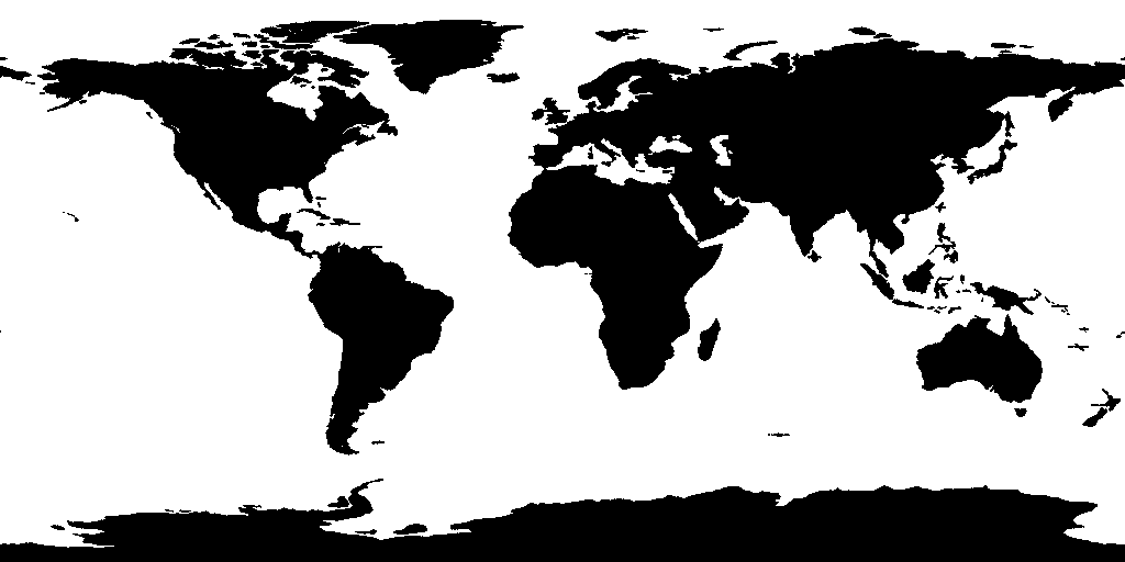
WILDFIRE: United States of America [30.7°N, 92.9°W] (47 MW)
Satellite telemetry and atmospheric sensors detected an active thermal anomaly and wildfire: WILDFIRE: United States of America [30.7°N, 92.9°W] (47 MW) on 2026-10-23T15:22:00+00:00. Sensor readings place the centroid at 30.6563° latitude and -92.8510° longitude.
The event has been classified under severity level 'FRP 47 MW • 2 PASSES' by international monitoring networks (USGS, EMSC, NASA EONET). The coordinates sector has been cataloged under event category 'WILDFIRE' with importance rating 'STANDARD LOG'. Nearby submarine communication cable corridors and regional critical infrastructure are continuously assessed for disruption.
The InterLogs Planetary Observatory continuously correlates this incident with regional bathymetry, power transmission networks, and maritime shipping density. Readers can inspect the live 3D geospatial environment directly in the InterLogs interactive telemetry globe.